TOUR ISOLA ROSSA – COSTA PARADISO
by Mario Piga
extracts from the bookValledoria, Badesi, Trinità and Aglientu
SENTRIES OF THE GULF
From the Foce del Coghinas to Rio Vignola
Sassari, Carlo Delfino Editore, 2019 ⇒
courtesy of the Author
From Isola Rossa to Canneddi
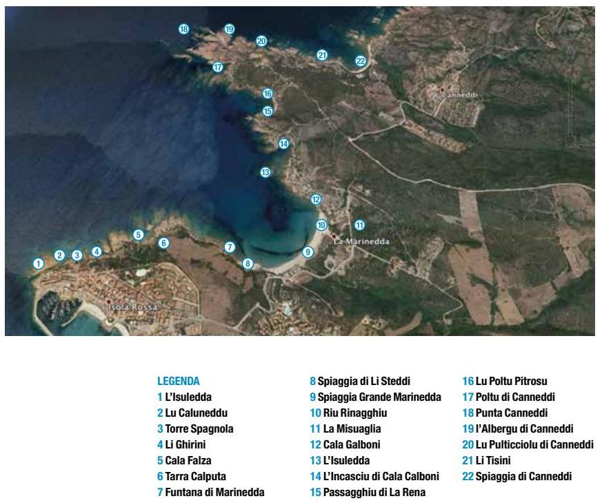
Just after the port on the left, walking along the coast, before reaching the Spanish Tower, you come to the inlet of Lu Caloni (Big Cove), where a corner of shining water is wedged between the mainland and L’Isuledda (The Islet), a cluster of rocks that recalls the “Islet” further offshore and which gave its name to the village. Along this channel of water, the fishermen dug a well in the rock that served as a marruffo (container for lobsters), to keep alive the many lobsters fished on the coast. […]
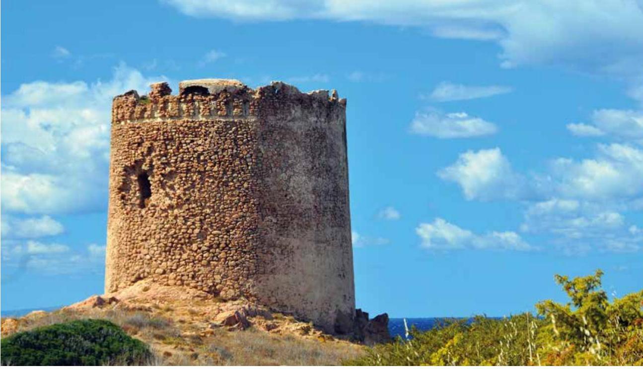
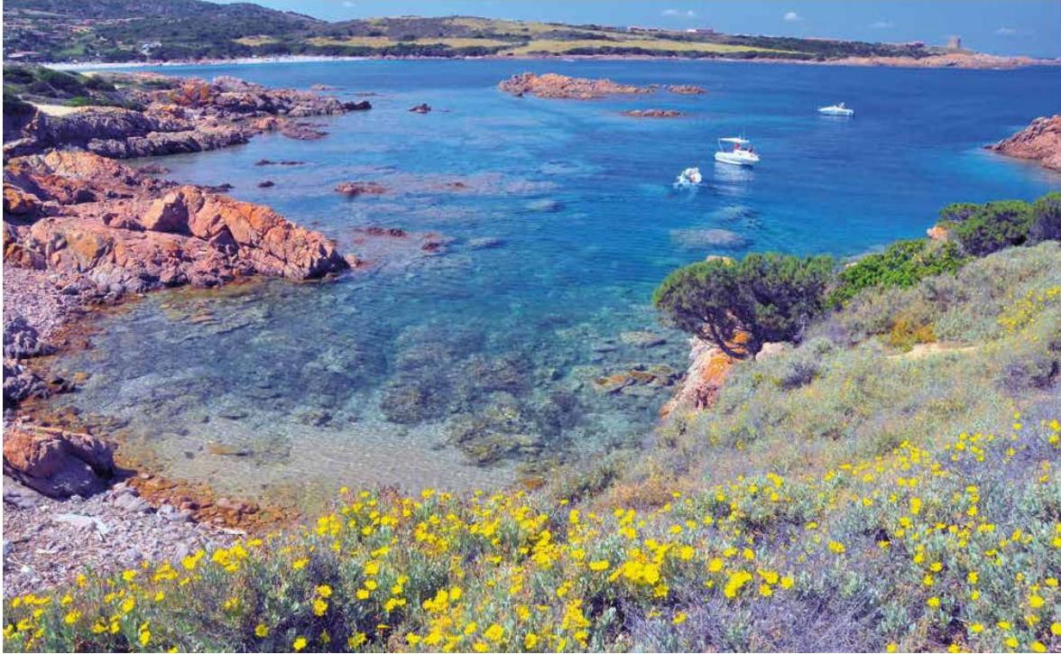
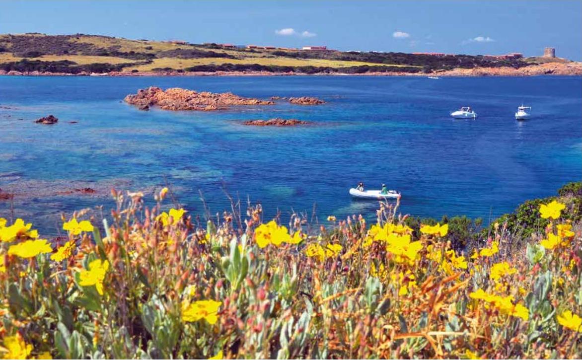
Behind the harbour stands the mighty Spanish Tower, dating back to around 1593, witness to very important historical events towards the end of the seventeenth century and, almost two centuries later, also of the revolutionary uprisings of Angioy, which moved along the lines of French Revolution. […]
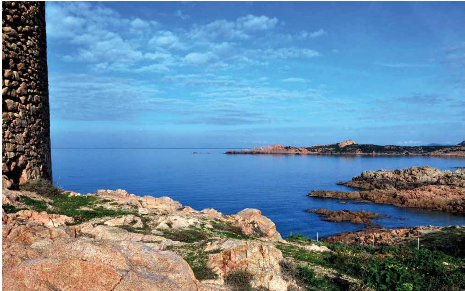
Around the historical monument lies a valley called the Tarra Calputa (the split earth) due to its considerable aridity, […. poi] Cala Falsa, a treacherous bay due to the hidden rocks at its entrance, invites you to walk along the cliff below, where, even with hot sun in your face, you enjoy a feeling of well-being, as the high temperature is softened by the inevitable persistent breeze that has always been a feature of this stretch.
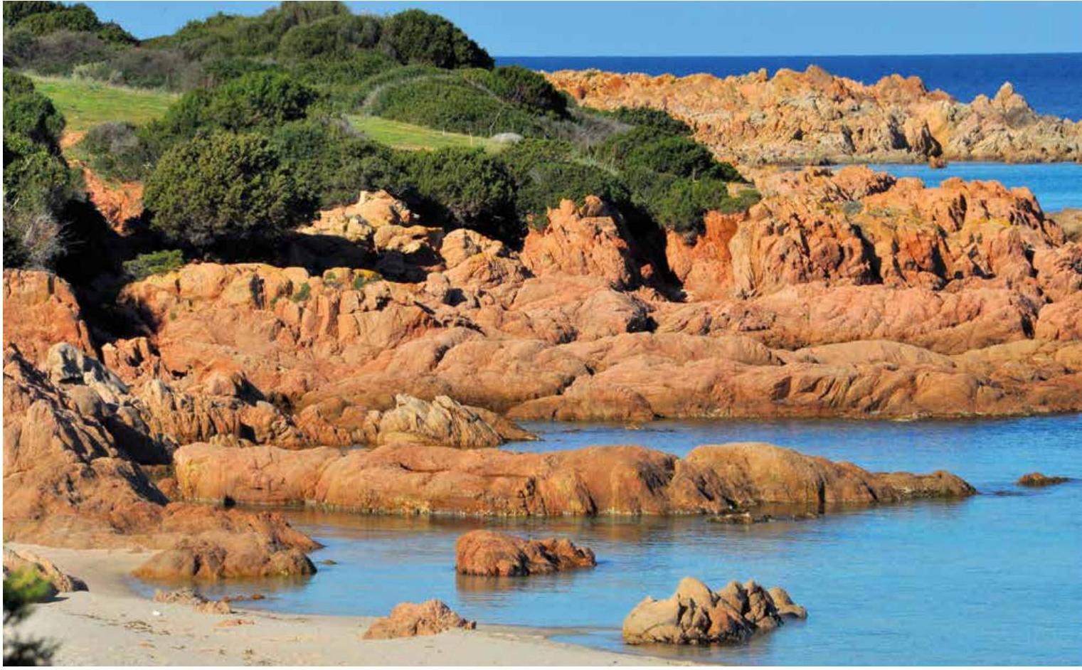
Funtana di Marinedda is worthy of longer reflection. In less recent times, this small bay allowed people both to enjoy the sun in a more private manner and to quench their thirst in the fresh water from the spring behind. The coming sunset highlights the deep red of the porphyry rocks, which frame the small beach, called Li Steddi or Li Timpiesi (of the children or of the people of Tempio) who in the 1950s and 60s loved to holiday on this small strip of sandy shore, building their summer huts there. The cove is sheltered from the wind, with shallow waters ideal for children and people not good at swimming.
An oasis of tranquillity, unlike the large facing beach, where those unused to deep water must be more cautious.
The large Marinedda Beach has very different features and, with its particular currents, is a great spot for surfing, with various national and international events organized there every year.
Framing the beach to the north, there is the Rinaggiu River, which in winter flows directly into the sea. The trickle in the summer that becomes a rush of water in winter, sometimes distorting the formation of the beach itself. It runs alongside the Plain of La Misuaglia, which borders a cove called Cala Calboni (Charcoal Cove). A site frequented in the past by certain charcoal burners who needed a place to gather the “black gold” of the time. The recess, sheltered from the currents, was evidently chosen to store the merchandise while waiting for the sailing ships that they would dock there to load. The older residents recount that, until a few years ago, there were still residues of charcoal in the bay.
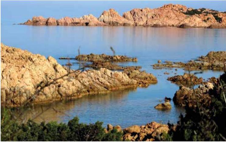
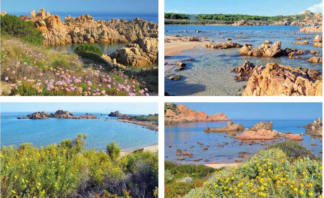
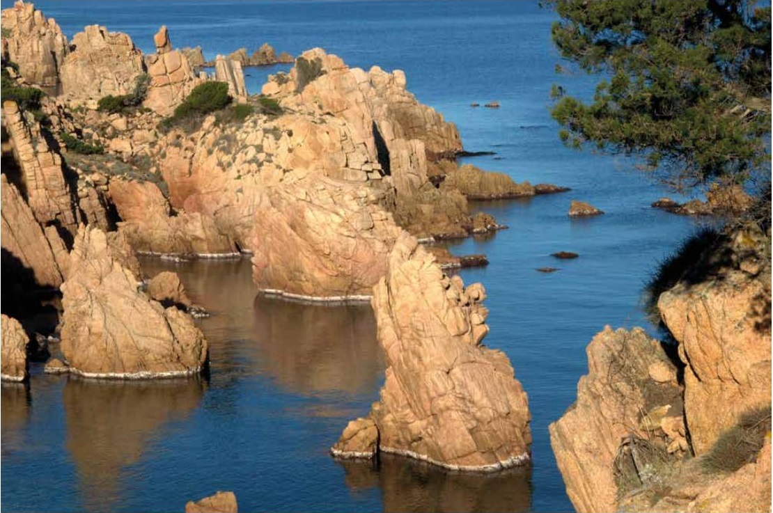
Lu Poltu Pitrosu (the Stony Port) gives way to a series of creeks framed by bright red rocks, behind which rise endless hedges of Halimium halimifolium (yellow cistus) in the spring, whose characteristic petals have five dark spots with flaming red pistils.
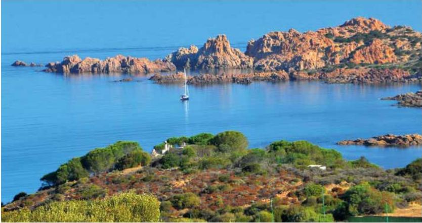
Further on, Lu Passaggiu di la Rena (the Sandy Passage) and Lu Poltu di Canneddi (the Port of Little Reeds) accompany us to the majestic pinnacles of Punta Canneddi that are just as beautiful as the highest Dolomites of Trentino. They stand out in the deep and clear waters of the gulf, amidst the screech of the resident seagulls and the cormorants.
Having climbed to the top of this red cliff, once around the corner, you will come across the Albergu di Canneddi (Hotel of Canneddi).
From Canneddi to Lu Stagnoni (Beach of Tinnari)
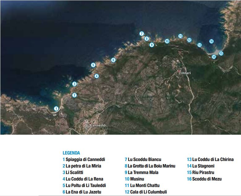
[…] Going round the inlet mixed with sand and rocks, we come to La Petra di la Miria (the Target Shooting Stone): a point where, given the toponym, it is supposed people went to test their shooting skills.
Proceeding northwards, the succession of places seems to mark your steps: Li Scalitti (The Steps); Lu Poltu by Li Tauleddi (The Port of Boards), where various types of timber landed up, carried by the currents; Lu Coddu of La Rena (Sand Hill), a difficult route due to the very sandy soil); La Ena of Lu Jazetu, an area where lush tamarisk plants grow along a river that flows into the sea. […]
Continuing on, we still find Lu Scoddu Biancu (White Rock), its name due to its bright pale colour and the cave of Lu Boiu Marinu (the Sea Ox, i.e. the monk seal): on this subject, there are some elders that tell of having seen and heard the monk seal mooing, which is why it is called the boiu marinu. This cave has the same name as the more famous one in Cala Gonone, where this animal used to be found until recently.
Then we find La Tremma Mala (The Precipice), so called because it is very dangerous to walk along because of the loose ground.
Lu Monti Chattu (Flat Mountain) and Cala of Li Culumbuli (Dove Cove) frame the Musinu Plain, interrupting the monotony of the coast, before arriving at Lu Stagnoni (Big Pond).
To reach it, you have to pass through a tunnel, where you can admire great displays of Erica arborea (tree heath) and Myrtus communis (myrtle), but where there are also ancient Arbutus unedo (arbutus or strawberry tree). A unique shrub, since in November it holds, framed among the shiny leaves, both the ripe and unripe fruit, in addition to the flowers ready to be pollinated by bees that, in turn, give us the famous and delicious bitter honey. Together with the bees, you can often admire the Charaxes jasius (arbutus nymphalid, or drunken butterfly) feeding on the ripe berries, which flutter above your head, as if to keep us company during the difficult walk. It satisfies itself by eating the sweet liquid of the berries, while its caterpillar is sustained only with the leaves.
From the top of the path, we can see Lu Coddu di La Chirina (Neck of the Pigsty), a cove where, between the late nineteenth and early twentieth century, exchanges took place between Sardinian and Corsican smugglers. This was an ideal landing place for the boats that came from the neighbouring island, after having received the go-ahead from the improvised smoke signals from Punta della Piastra, on the top of Monte Tinnari.
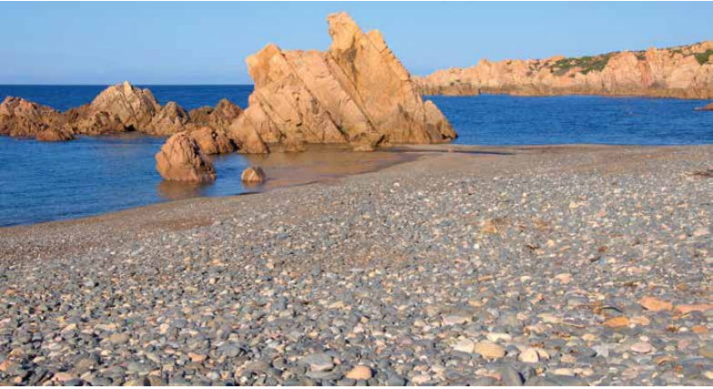
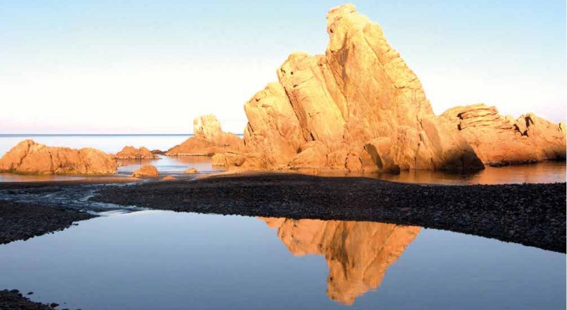
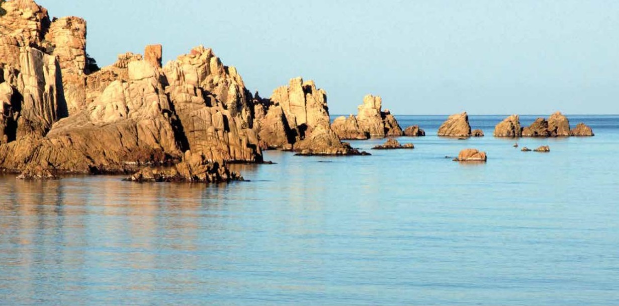
The beach of Tinnari appears, enchanting us with its beauty, with a wide inlet divided in half by Rio Pirastru, which wedges itself between the round and smooth pebbles, typical of this stretch. Typically, on days of strong wind, there is a deafening drumming that reverberates in the valley, caused by the enormous boulders rolling over one another. There are also the similarly unusual natural stacks that emerge from the water, which, depending on the light, take on different features.
Photos by Mario Piga

