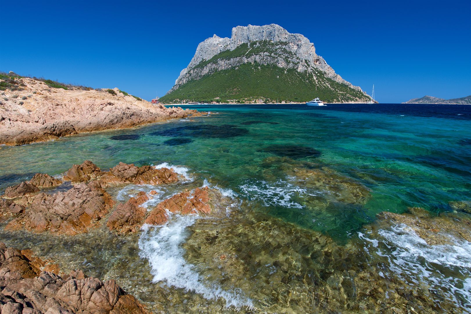
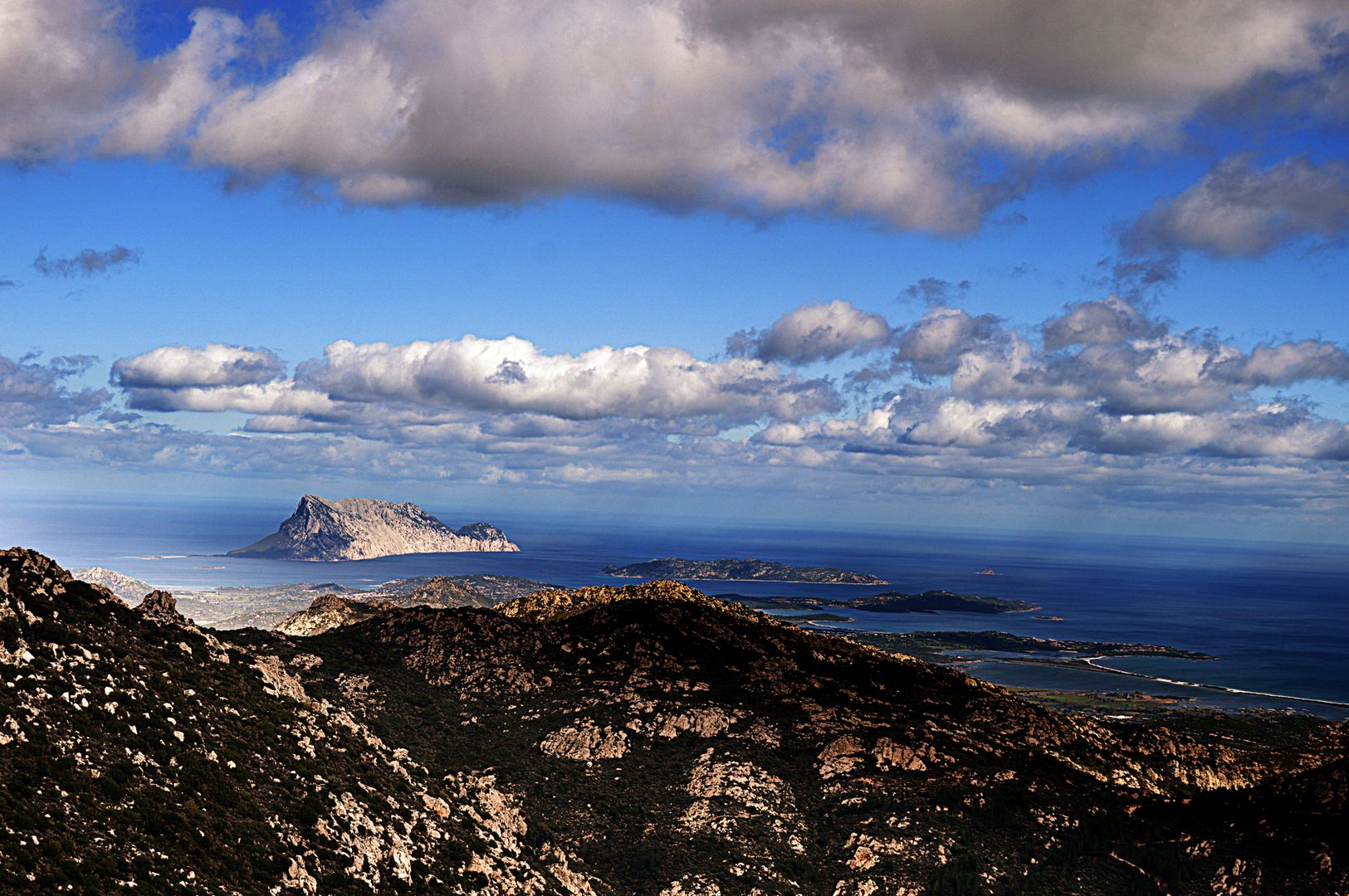
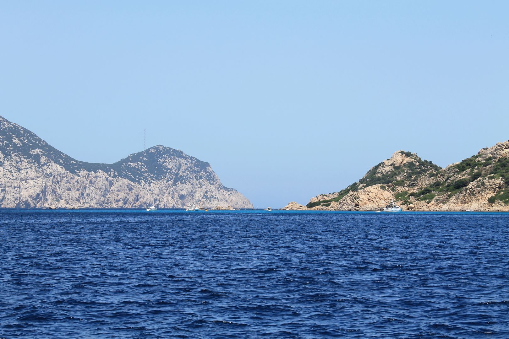
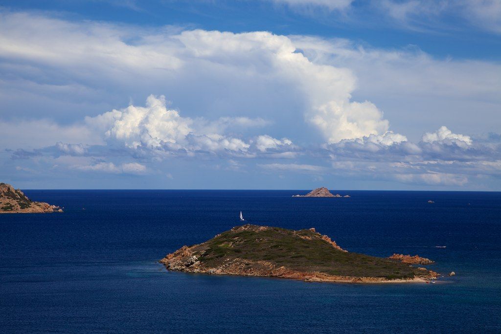
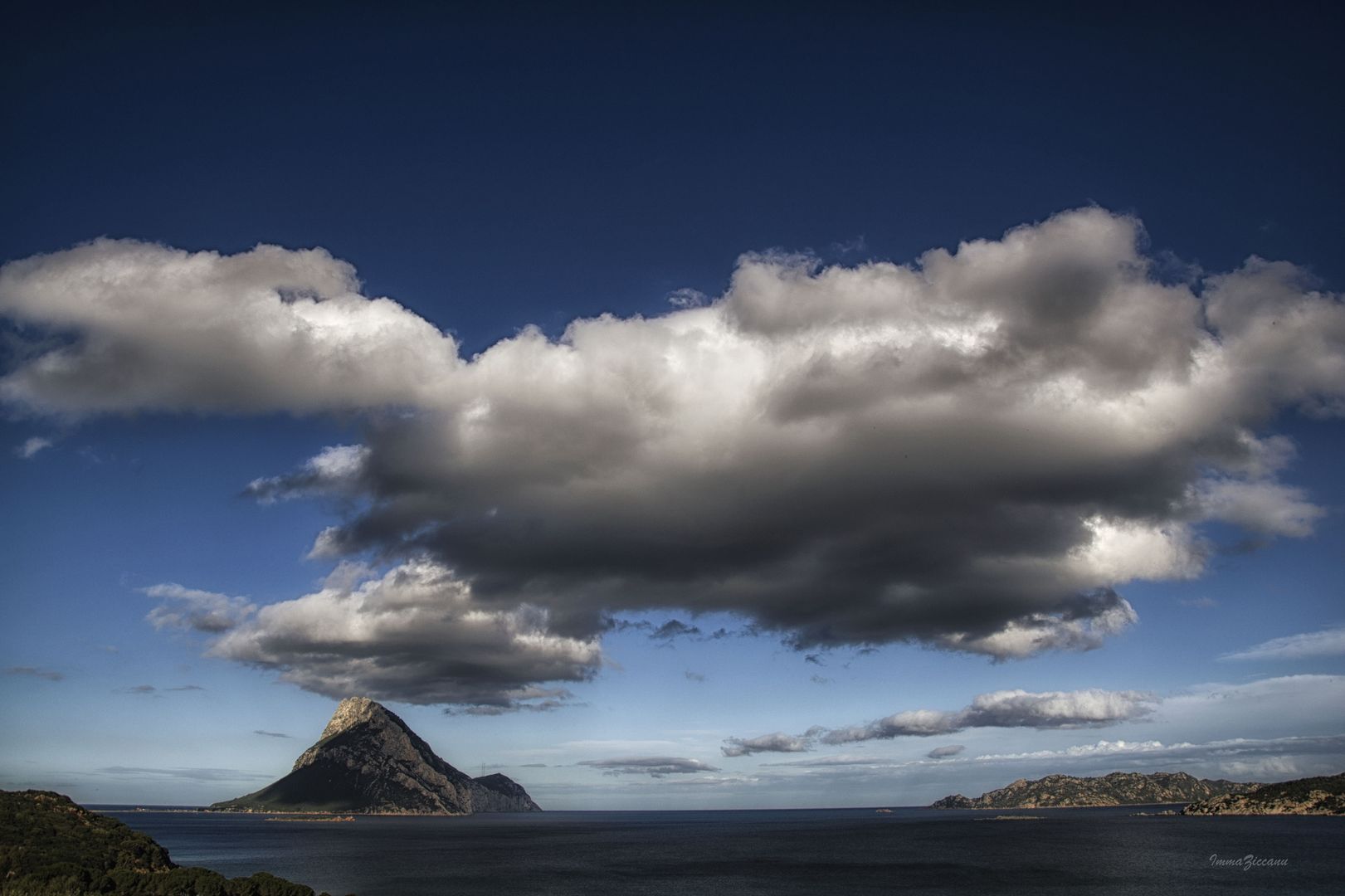
TAVOLARA AND MOLARA
Sketch of the present state of the Island of Sardinia⇒
London 1828
John Murray, Albermarle-Street
in italian: ![]()
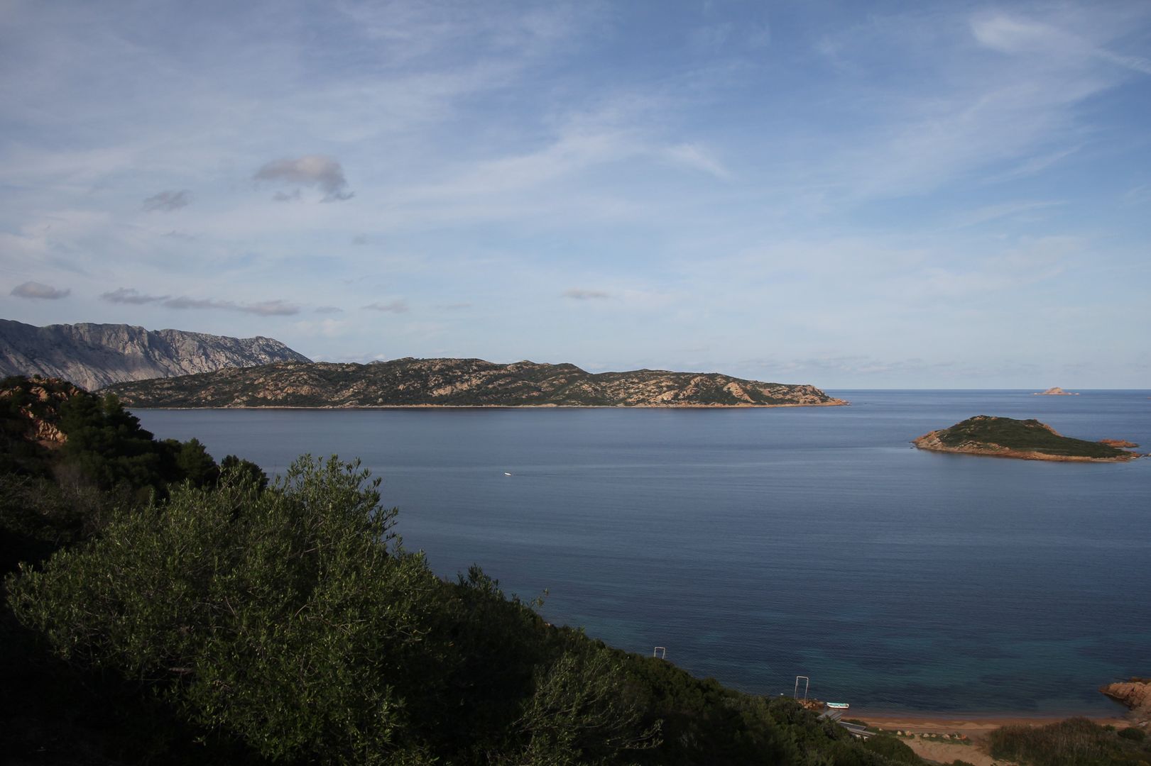
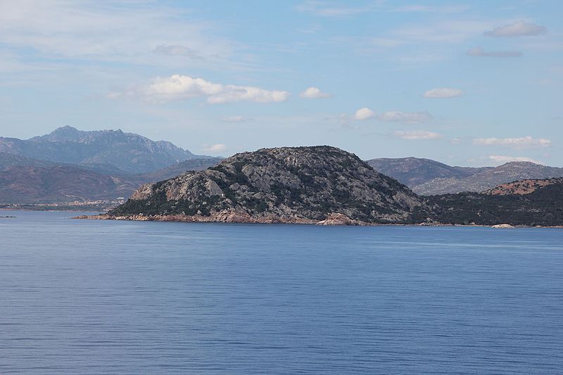
Between Molara and Cape Ceraso are some tolerable anchorages, of which the best is Porto San Paolo, a place easily entered by the three several channels of Tavolara, Molara, and the main.
Care must be taken, however, in rounding Cape Ceraso, on account of a dangerous shelf of rocks; for during our survey, a brig struck on them with a free wind, and sunk so instantly, that had not two of our boats been near, and afforded the most prompt assistance in rescuing the crew and passengers from off the topsail yards, every person must have been drowned.
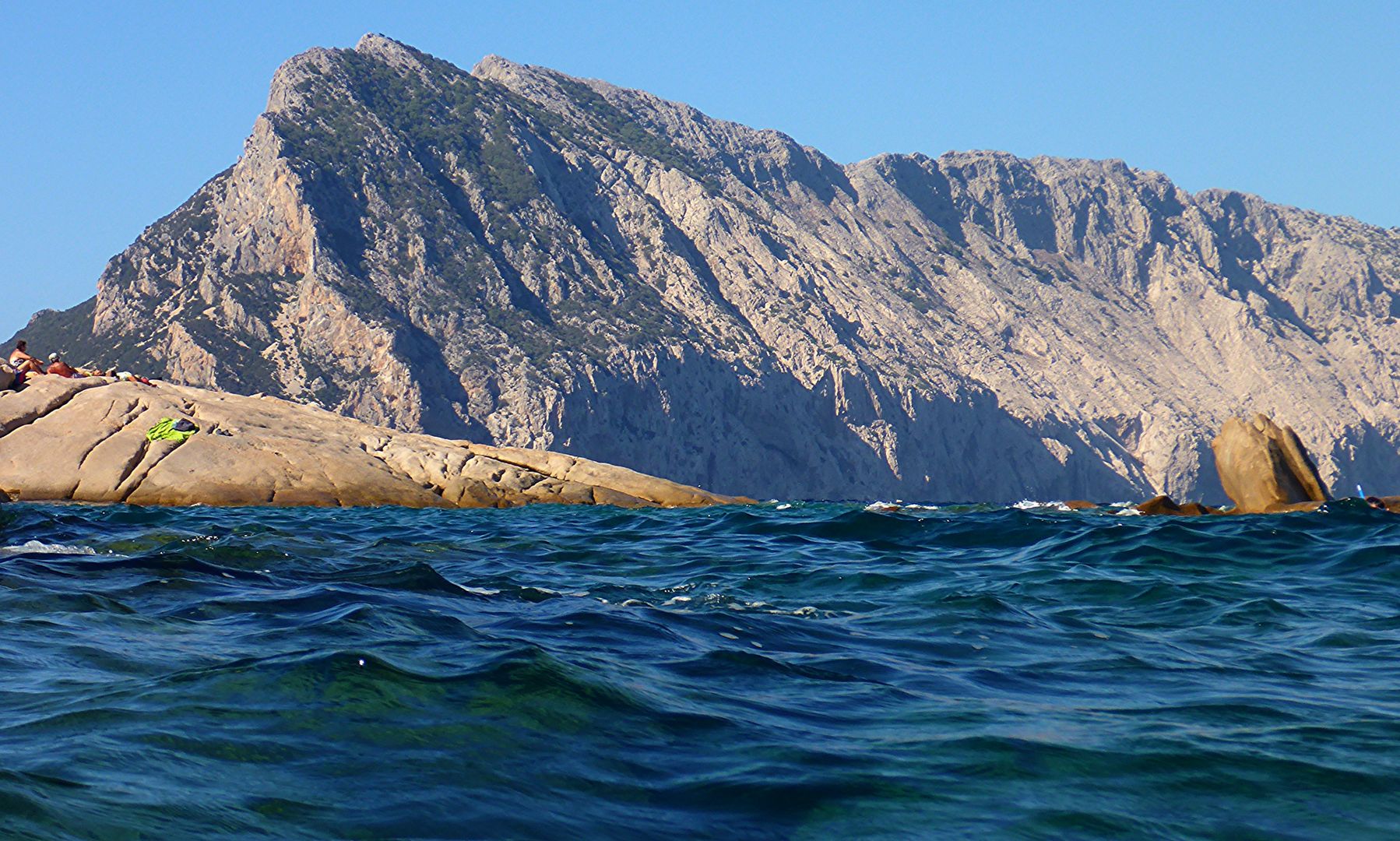
The eastern point is singular, from a sharp pinnacle terminating a serrated ridge, and a large perforation near it, called the “manaco”, or handle. The S. W. part of this islet forms a semicircular bay, called “Spalmador di terra”, with a sandy beach, where vessels also anchor.
The whole is a mass of compact limestone, similar to that of Monte Albo, and nearly 1500 feet high. It presents a rich treat to the botanist in its numberless curious plants, amongst which the “avena selvatica,” or animated oat, is alike remarkable for its delicacy and beauty.
SOURCES OF ILLUSTRATIONS
Contemporary Photos
Evgeniy Ursalov – Flickr, Maurizio Arca – Flickr, Patrick Nouhailler – CC BY-SA 2.0 – Flickr, Francesca Cappa – CC-BY-2.0, Gianni Careddu – CC BY-SA 4.0, wikimedia commons, Luca Sbardella – CC-BY-2.0 – Flickr, Immacolata Ziccanu – Flickr

